Pagasa Forecast Shifts Weather Narrative for Philippine Agriculture
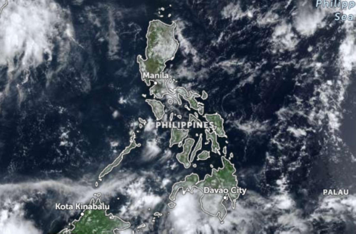
The Philippine Atmospheric, Geophysical and Astronomical Services Administration (Pagasa) issued a forecast that splits the country into two distinct weather regimes. The intertropical convergence zone (ITCZ) will drive cloudy skies with scattered rains and thunderstorms across Zamboanga Peninsula, BARMM, South Cotabato, Cotabato, Sultan Kudarat, Sarangani, General Santos, and the Davao Region. Meanwhile, Luzon, including Metro Manila, will see mostly fair weather except for isolated afternoon or evening downpours from localized thunderstorms.
The highest heat index under this setup is expected in Palawan and Occidental Mindoro provinces at 45 degrees Celsius. Metro Manila’s heat index could reach up to 42 degrees Celsius.
The simple read is that the wet season is active in the south while the north stays hot. The better market read is that the combination of extreme heat in agricultural areas and uneven rain distribution creates a dual threat to crop output and energy consumption. A 45°C heat index reduces outdoor work hours directly and accelerates soil moisture loss in regions that are not receiving consistent precipitation. The Luzon fair weather window could worsen drought stress on dry-season crops in the absence of afternoon showers.
45°C Heat Index in Palawan and Occidental Mindoro: Sector-Wide Mechanism
Palawan and Occidental Mindoro are major producers of high-value crops such as banana, coffee, and cashew. The 42°C heat index in Metro Manila simultaneously raises cooling demand, putting pressure on the power grid during a period when hydroelectric generation may be constrained if upstream catchment areas receive less rain.
Pagasa’s forecast indicates that only the southern regions receive steady rain from the ITCZ. Luzon’s isolated downpours are insufficient to offset evaporation rates under a 42-45°C heat index. This mismatch can lead to localized power curtailment in Luzon and potential crop yield reductions in Palawan and Mindoro if the heat persists for more than a week.
Next Concrete Decision Point: Crop Damage Assessment and Power Load Data
The first confirmable signal will come from daily irrigation reports in the affected provinces and the National Grid Corporation of the Philippines peak load data. If the 45°C heat index materializes** in Palawan and Occidental Mindoro for consecutive days, then agricultural lenders and crop insurers begin to adjust loss assumptions. The Philippine Department of Agriculture’s next bulletin on standing crop conditions will be the earliest forward-looking variable for commodity traders.
For investors tracking Philippine sectors, the absence of a named company in this story is the story: the weather exposure is broad, not stock-specific. The move from fair weather to extreme heat changes the risk premium for Philippine agricultural land values and power utility earnings forecasts, even if no single stock reports a weather-related event yet.
This forecast sets up a watch-for confirmation pattern. A drier-than-normal May following high heat indices would shift the risk timeline for Q3 harvests. The next Pagasa weather advisory, expected within the week, will refine the heat index outlook and rain distribution, giving market participants a clearer signal on whether this is a short-lived spike or the start of a seasonal climate pattern.