Stocks● Neutral
Monsoon to Cover India Within a Week: Kharif Implications
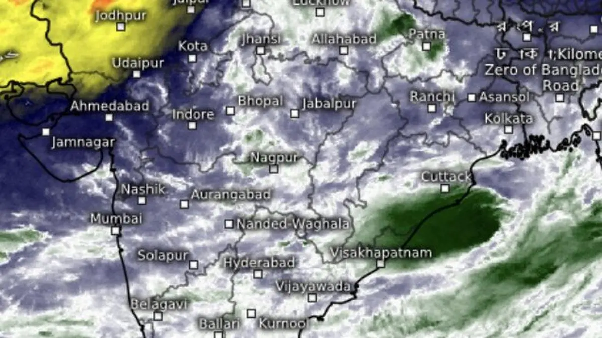
The monsoon will cover all of India within a week, removing the biggest risk for kharif sowing. Distribution varies: heavy rain for the east, drier conditions for the south.
Continue with
The monsoon will cover the entire country within a week, the India Meteorological Department said Tuesday. Conditions are set for a fresh advance into north-west India over the next few days, covering Gujarat, Madhya Pradesh, parts of Chhattisgarh, Jharkhand, and Bihar. Then Uttar Pradesh, Uttarakhand, Rajasthan, and the northern states will follow.
The push comes from a cyclonic circulation over north Odisha and a low-pressure area forming over the north Bay of Bengal. Together they strengthen westerly and easterly winds from both the Arabian Sea and the Bay, pulling moisture inland. The IMD said the monsoon trough will stretch from north-west Rajasthan to the north-west Bay off the Odisha-West Bengal coast. That channel connects with the developing low-pressure area. Model guidance indicates the system could become a depression by July 5-11 and move toward the north-eastern states and West Bengal. That would bring heavy rain to an already well-watered eastern India, while the west and south remain drier.
For India's kharif crop, full coverage by early July removes the biggest risk from this season. Sowing picks up in June and peaks in July. A delayed monsoon in the north-west can compress the planting window for rice and pulses. Oilseeds face similar constraints. This year the monsoon arrived on time over Kerala but stalled. The IMD's forecast that it will cover the entire country by the end of the week means the window stays open.
Why the Monsoon's Full Coverage Matters for Kharif
The simple read: a normal or above-normal monsoon supports rural demand. Agrochemical and fertiliser companies see higher volumes. Tractor and farm equipment makers benefit. Consumer staples with high rural exposure hold up better when a healthy crop lifts rural incomes. The IMD's forecast reinforces that baseline case for the sectors.