Stocks● Neutral
Indonesia needs an ocean-energy atlas, not another potential number
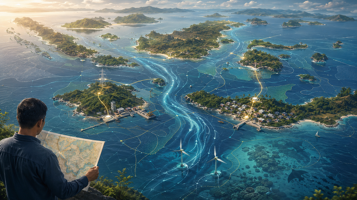
Ocean Energy Europe ranks Indonesia's tidal resource first in Asia at 58% of demand. But technical potential alone cannot site a project. The country needs a decision-grade atlas that maps grids, costs, ecosystems and local users.
Continue with
A new global assessment gives Indonesia an extraordinary distinction: the strongest tidal-energy resource in Asia and Oceania.
Ocean Energy Europe estimates that tidal stream could technically generate around 252 terawatt-hours of electricity annually – equivalent to 58 per cent of the 2023 Indonesian electricity-demand benchmark used in the report. Including wave energy raises the combined technical potential to approximately 273 TWh, or 63 per cent.
The number is striking. The word that matters, however, is technically .
It does not identify which strait Indonesia should develop first. It does not estimate the price of the electricity, determine whether a nearby grid could accept it or explain how turbines would coexist with fishing, shipping and sensitive marine ecosystems.
What Indonesia needs next is not another national potential estimate. It needs a decision-grade ocean-energy atlas.
The report is a comprehensive literature review that consolidates studies produced by governments, international organisations and academic researchers. It is not a new measurement campaign across Indonesian waters.
It was also published by Ocean Energy Europe, an industry association representing more than 120 organisations. Its methodology is transparent and draws on external literature, the publication is best read as a synthesis of market potential rather than a project-level investment appraisal.
For Indonesia, the estimates draw principally on a 2018 feasibility study that reported 287.8 gigawatts of theoretical tidal-current potential and 71.9 GW of technical potential. The corresponding figures for wave energy were 141.4 GW and 7.9 GW.
The difference between those categories is fundamental.
Theoretical potential describes the energy physically available without accounting for technological, environmental, spatial or economic constraints. Technical potential narrows the estimate according to present engineering capabilities, including assumptions about device performance, water depth and capacity factors.
Practical potential goes further. It considers whether development remains feasible after economics, environmental restrictions, marine spatial planning and legal conditions are included. Comparable practical estimates remain scarce outside Europe, so the report focuses on technical potential.
The headline figure of 58 per cent therefore does not represent a deployment target or a pipeline of bankable projects. It shows that the resource is large enough to justify serious investigation.
The annual-generation estimates also rely on standardised capacity factors of 40 per cent for tidal stream and 34 per cent for wave energy. The report acknowledges that actual performance can differ considerably between locations.
Resource potential and system value are two different maps.
A narrow channel may contain exceptionally fast currents and still be a poor investment. It might sit far from electricity demand, require an expensive subsea cable or intersect with a busy shipping route. The seabed may make installation difficult, while corrosion, turbulence and biofouling could raise maintenance costs.
Another location may have a less spectacular resource and greater practical value. A tidal project close to an island grid that depends on imported diesel could displace expensive generation, connect through a shorter cable and receive maintenance support from a nearby port.
A developer ultimately needs to know where the cable will land, which vessels can install and service the turbine, who fishes in the channel and which institution will purchase the electricity.