Stocks● Neutral
IMD Monsoon Update: Orange Alert for Northeast, Heatwave Grips Northwest
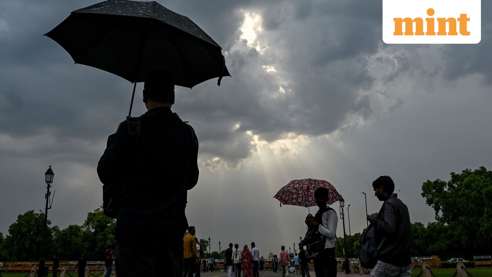
IMD issues orange alert for heavy rain in Northeast states as monsoon advances; heatwave persists in Northwest with temperatures hitting 46°C. Dust storm and hailstorm warnings for multiple states.
Continue with
The India Meteorological Department (IMD) reported that maximum temperatures hit 46 degrees Celsius in several states on Tuesday, including Punjab, Haryana, Rajasthan, Uttar Pradesh, north Madhya Pradesh, parts of Maharashtra and Chhattisgarh. Sri Ganganagar in Rajasthan recorded the highest temperature of 46.6 degrees Celsius on June 9, followed by Punjab's Bathinda and Madhya Pradesh's Khajuraho.
As heatwave conditions persist across northwestern India, the IMD issued a yellow alert for Jammu and Kashmir, Himachal Pradesh, Punjab, Haryana, Rajasthan and Uttar Pradesh. Heatwave conditions are likely in Himachal Pradesh, Jammu and Kashmir and isolated pockets of East Uttar Pradesh on June 10, the agency said. These conditions will continue over West Rajasthan, West Uttar Pradesh, Haryana and Delhi until June 11.
Hot and humid weather will persist in Odisha until June 11 and in Goa until June 10, according to the Met Department. Central India can expect a gradual rise in maximum temperatures of 2-3°C today. Northwest India will see a similar rise of 2-3°C until June 11.
The IMD predicted a dust storm in Rajasthan on June 11. "Thundersquall (wind speed reaching 50-60 kmph gusting to 70 kmph) likely over Haryana Chandigarh & Delhi, Punjab, Uttarakhand and West Uttar Pradesh during 11th-12th June; East Uttar Pradesh on 12th June; East Rajasthan and West Rajasthan during 11th-13th June," the agency said.
"Isolated Hailstorm activity likely over Haryana Chandigarh & Delhi, Himachal Pradesh, Jammu-Kashmir-Ladakh Gilgit-Baltistan-Muzaffarabad, Punjab and Uttarakhand during 11th-12th June; West Uttar Pradesh on 12th June," the IMD added.