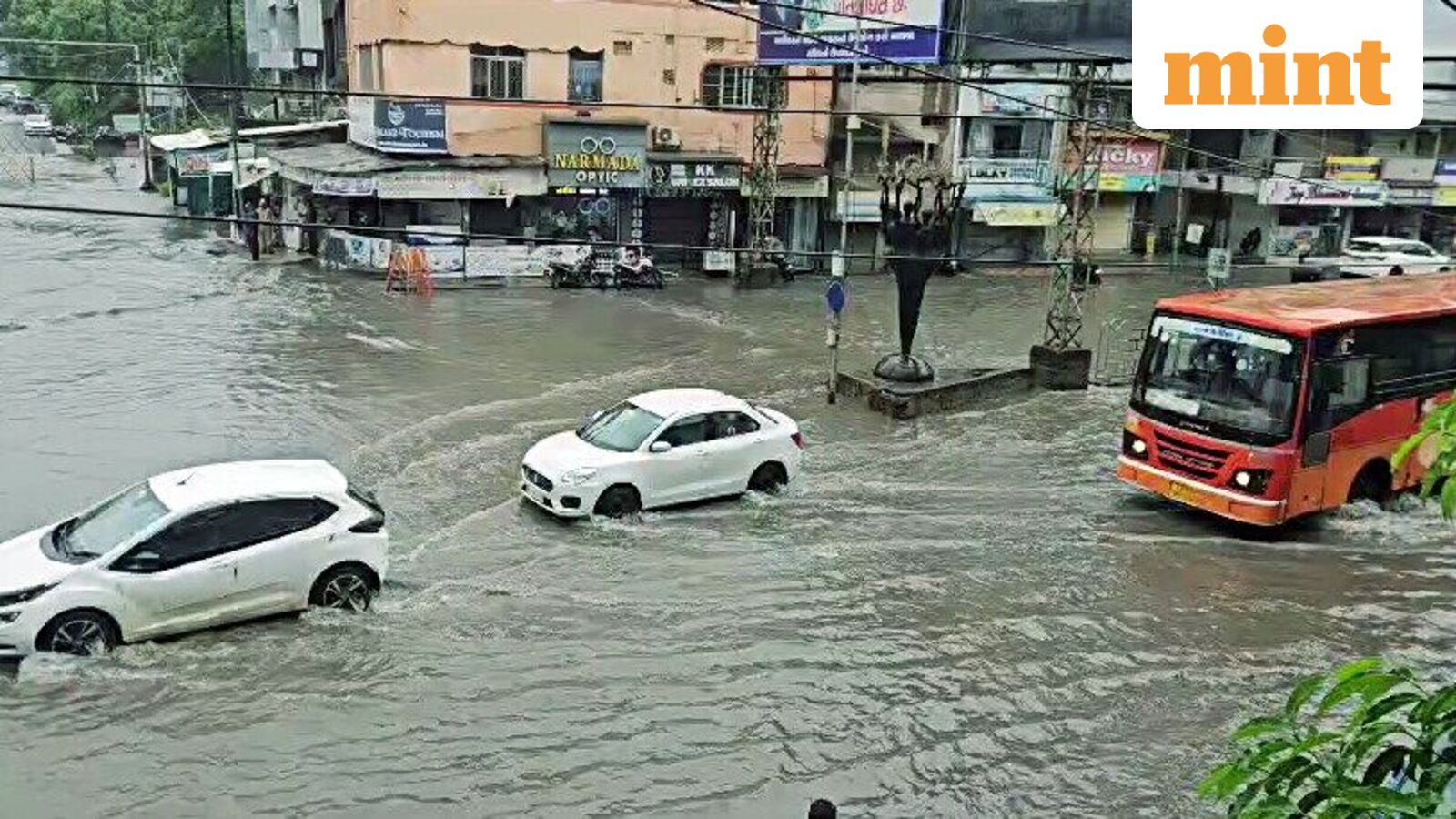
Gujarat entered a second day of red-alert warnings from the India Meteorological Department as a deep depression over southwest Madhya Pradesh drove extremely heavy rainfall across the state. The system moved west-northwest at 23 kmph overnight and is expected to weaken into a well-marked low pressure area within 12 hours, the IMD said. Intense showers will persist through August 2, with wet spells continuing until August 6.
Districts under the red alert include Ahmedabad, Anand, Surendranagar, Rajkot, Bhavnagar and Botad. The IMD issued a flash flood warning for more than 20 districts, among them Dadra and Nagar Haveli, Daman, Bharuch, Surat, Vadodara and Valsad. Fishermen were advised to stay off Gujarat's coast and the adjoining sea area until conditions improve.
The Purna River is overflowing. The Gaddiya Bridge connecting Kalibel and Mahal villages is completely submerged and closed to traffic, according to IANS. Waterlogging was reported in Bharuch's Kasak Navinagri area and across several parts of Surat, including near the Pandesara Panchmukhi Temple.
The weather office warned of damage to vulnerable structures, plantation, horticulture and standing crops. Farmers were advised to ensure proper drainage in rice, cotton, pearl millet, soybean, pigeon pea, green gram, black gram, maize, groundnut and vegetable fields. Tall crops like banana, papaya and sugarcane need strong bamboo staking to withstand the winds, the agromet advisory said.
Gujarat Police said all traffic-related complaints and rain-related emergencies – waterlogging, fallen trees, congestion – should now be routed through the single helpline 112, part of the Emergency Response Support System.
The depression, centred 70 km west-northwest of Indore late Friday, is expected to continue its west-northwest track across west Madhya Pradesh and adjoining east Rajasthan and Gujarat before weakening. The heaviest showers are concentrated on the state's central and southern districts. The IMD said the system will weaken into a well-marked low pressure area within 12 hours.