Back to Markets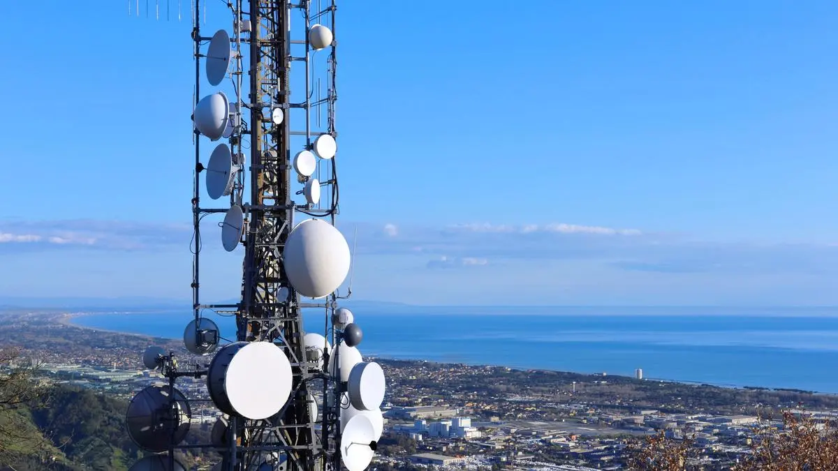
Macro● Neutral
US Government Forces Planet Labs to Blackout West Asia Imagery
Commercial satellite data access is now restricted as Washington prioritizes national security over open-source intelligence during the Iran conflict.
Continue with
Planet Labs, a leading provider of satellite imagery, has confirmed it is suspending the public distribution of imagery covering West Asia following a request from the U.S. government. The decision comes as the region is embroiled in an ongoing conflict involving Iran.
The San Francisco-based company, known for its high-frequency Earth observation data, stated it was complying with a government directive. While the specific legal basis for the request was not detailed, such actions are typically made on national security grounds.
"We can confirm we have received a request from the U.S. government to suspend the public dissemination of imagery of certain areas in West Asia," a Planet Labs spokesperson said. "We are complying with this request."